




Urban structure
Urban Design Guidelines for Victoria, published by The State of Victoria Department of Environment, Land, Water and Planning in 2017, defines urban structure as: ‘The overall topography and land division pattern of an urban area including street pattern, the shapes and sizes of blocks and lots. Urban structure also includes the location and types of activity centres, public transport corridors, public space, community facilities, and urban infrastructure. Whether at the scale of a city, town, neighbourhood, precinct or large development site, it is the interrelationship between all of the elements of urban structure, rather than their individual characteristics, that together make a place.’
Spatial development glossary, European Conference of Ministers responsible for Spatial/Regional Planning (CEMAT), Territory and landscape, No 2, published by Council of Europe Publishing in 2007, defines urban structure as: ‘…characterised by the main elements and functions existing inside the urban area, such as the morphology of the city (compact or dispersed, single nucleus or multiple nuclei), the distribution of urban areas according to age (medieval, post-war, etc.), to main functions (commercial, housing, industrial, recreation, etc.), to social distribution and organisation (poor and derelict areas, gentrified areas, middle-class areas, areas with a high proportion of immigrants, etc.), the main characteristics of transport and communication axes (road system, public transportation system).’
See also: Settlement structure.
[edit] Related articles on Designing Buildings
Featured articles
Check out some of the best features and news from Designing Buildings as well as key stories from around the web.

Government approach could undermine delivery and regeneration.
World's first mass timber data centre.

The overlooked environmental aspect of data centre development.
Introduction to radon awareness
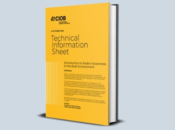
New technical information sheet published by CIOB.

Updated supplier guide can help electrical contractors engage with NHP.

CIAT confirm the winners of the 2026 architectural technology awards.
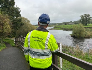
Government launches a one stop shop for flood preparedness.
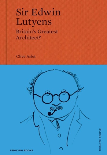
Sir Edwin Lutyens: Britain's greatest architect? Book review.
CIOB publishes free template to help assess and manage risks.
ECA's reflections on Party Conference season

Burnham wants to be confident of winning before asking for a fresh mandate.
New Chief Construction and Scientific Adviser

Sergio Cavalaro, Professor of Infrastructure Systems at Loughborough University.
Building safety levy for England

CIAT publish estimator tool for members.
Water sector faces a growing crisis that could slow the delivery of vital infrastructure.